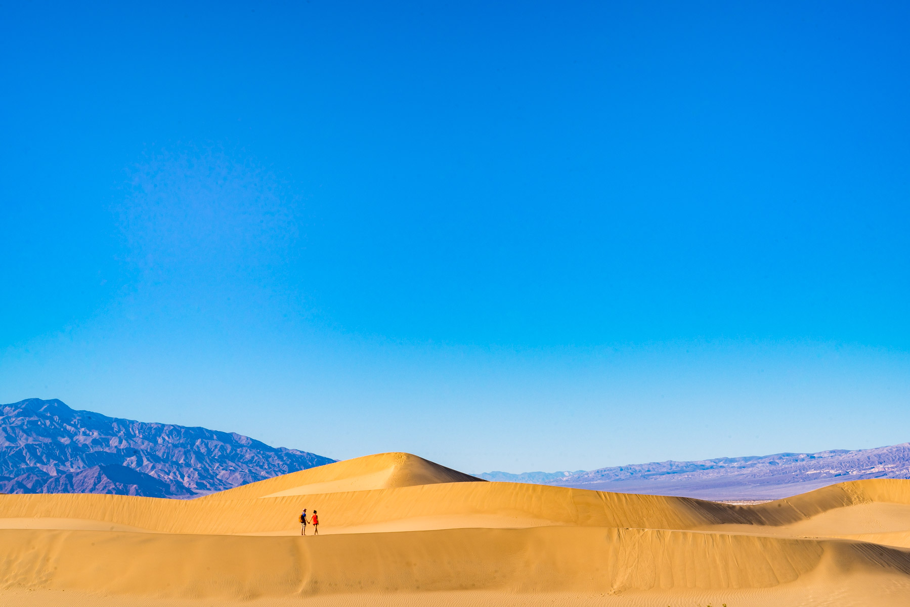
Will and I spent 14 days exploring (some of) Death Valley National Park’s 3.4 million acres.
Our first visit occurred in February when we took a spur of the moment road trip in our Prius; so believe me when I say you don’t need 4-Wheel-Drive (4WD) for these parts of the park.
I wasn’t expecting to like Death Valley as much as I did because I’m not much of a desert person (desserts, on the other hand…), but the landscape and life inside the park were captivating.
As of 2026, the park entrance fee is $30 per vehicle (valid for 7 days). You can also use your America the Beautiful annual pass if you have one. Trust me, if you visit more than two national parks a year, that $80 annual pass pays for itself fast.
Fun Fact: Death Valley’s Furnace Creek holds the world record for the highest reliably recorded temperature on earth – 134 degrees Fahrenheit.
UPDATE: Since publishing this post, we have created a Complete Guide to Death Valley National Park. Make sure to check it out, it covers absolutely everything you need to know before visiting the park.
Top 10 Places in Death Valley (without 4WD)
Spot #1: Mesquite Dunes
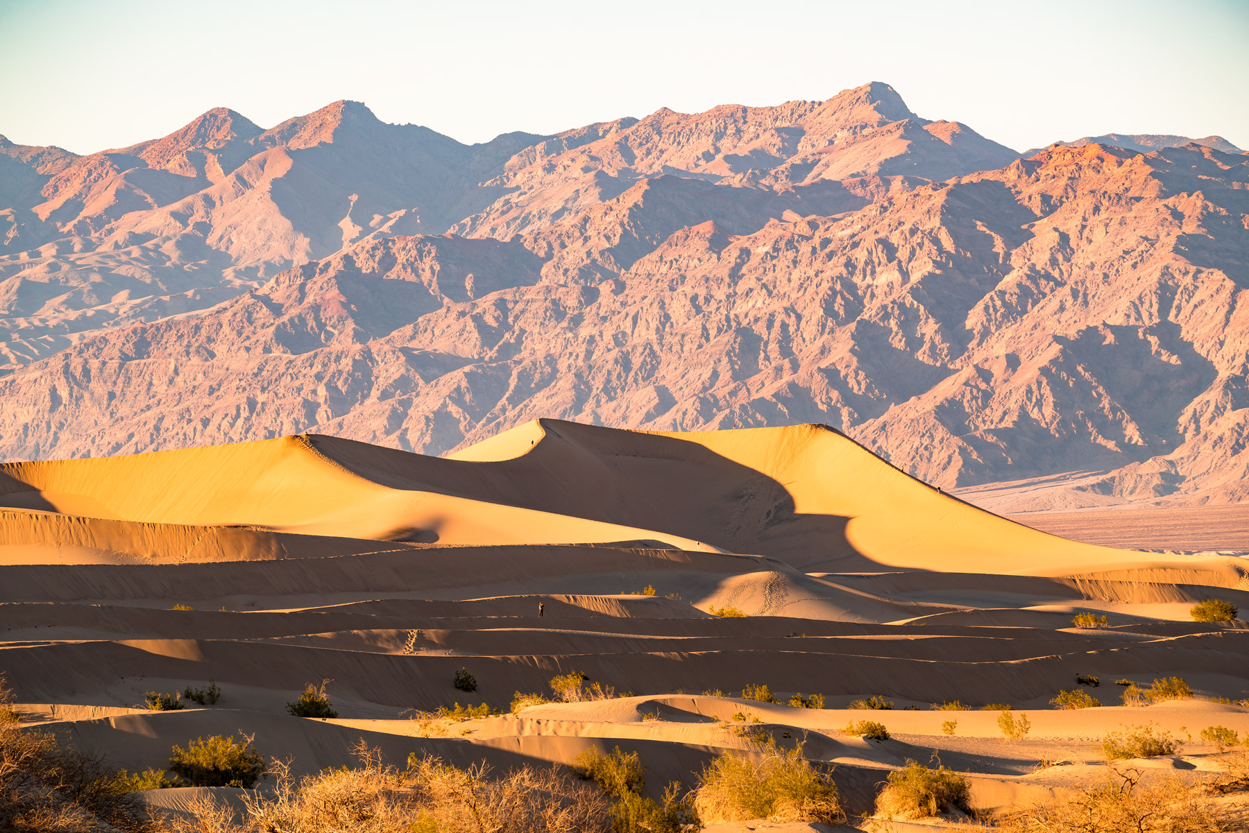
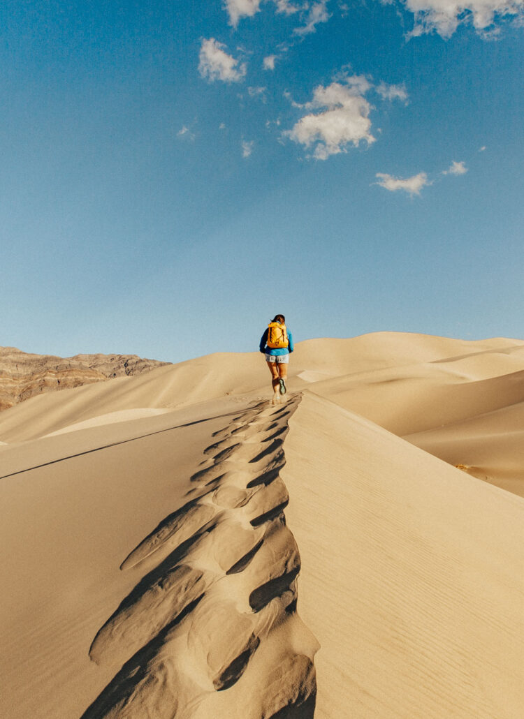
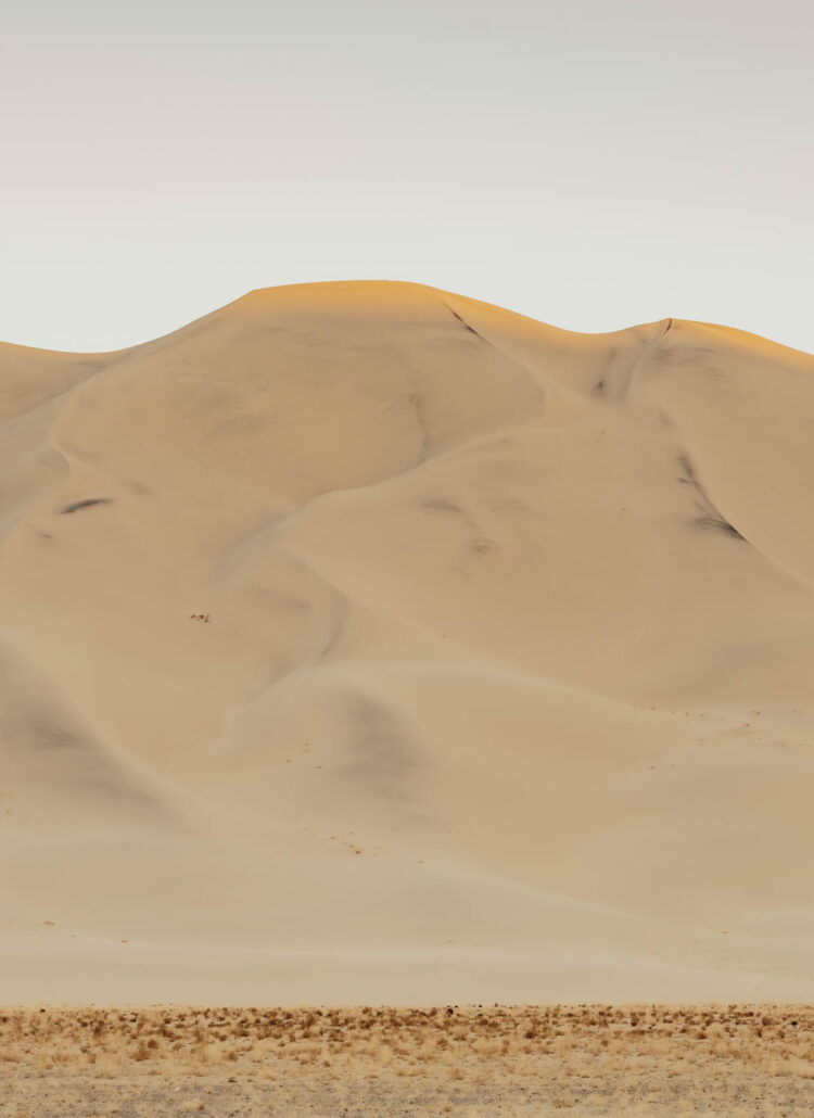
These are the easiest dunes to get to, and naturally, the most crowded. There’s a large parking lot right off Highway 190 near Stovepipe Wells and getting to the dunes wasn’t too challenging. Also, these dunes might seem familiar to Star Wars fans. 😉
The best time to visit is early morning or late afternoon when the light casts long shadows across the rippled sand. Midday heat makes the sand scorching and the flat light washes out all the texture. We arrived about an hour before sunset and had the most magical golden light.
There’s no set trail here, just pick a direction and start walking. The tallest dune is about 100 feet high and takes roughly 20 minutes to reach at a steady pace. Bring more water than you think you need.
Spot #2: The Elusive Mud Cracks
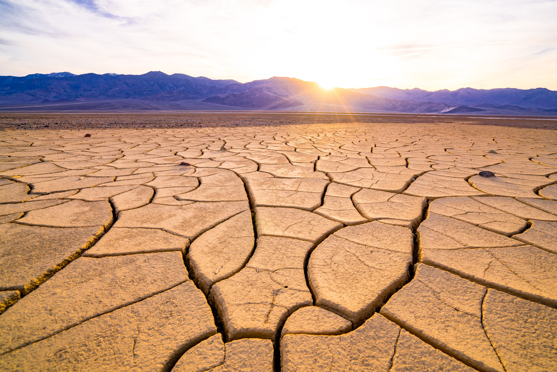
Successful finders of these mud cracks seem to be very territorial about this spot. Out of respect, I won’t broadcast the exact location here.
But I will say this, the adventure is so worthwhile! We spent four days scouring photos for clues and researching the map. I can’t tell you how happy we were to finally find them!
The mud cracks form when seasonal rains flood the valley floor and the water slowly evaporates, leaving behind intricate geometric patterns in the dried mud. Timing matters. If you visit right after heavy rain, the patterns will be hidden under water. Too long after and foot traffic starts breaking them up.
Tip: The mud cracks are located very close to one of the most iconic areas in Death Valley National Park (the spot is included on this list).
Spot #3: Darwin Falls
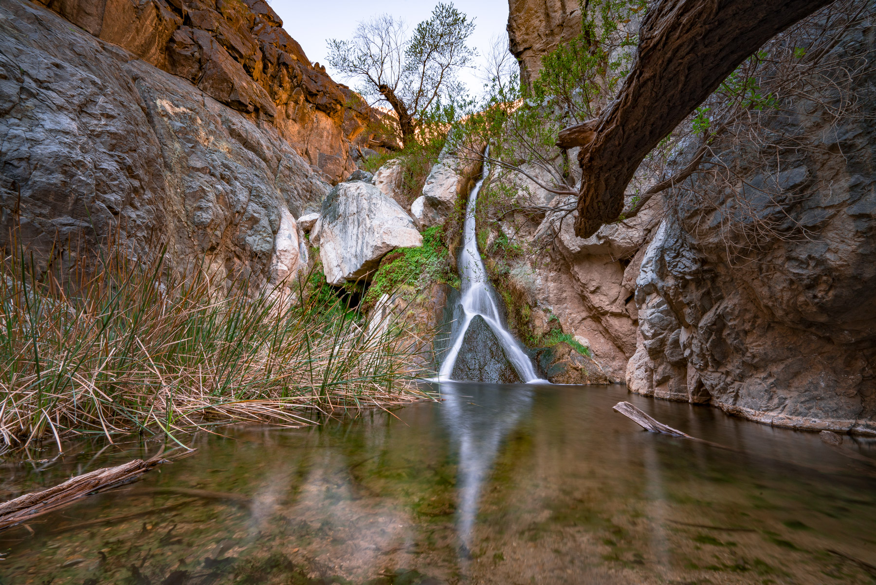
I can’t recommend this short and adventurous hike enough, make sure you bring your camera – you won’t believe how lush it is! This is a great hike to do on a hot day because this area is shaded and stays cool.
The hike is about 2 miles round trip and takes most people 45 minutes to an hour. You’ll scramble over a few rocks toward the end, but nothing too intense. The waterfall itself is about 20 feet tall and flows year-round thanks to a natural spring.
The road to the parking lot is very bumpy, so allow extra time for that. A standard car can handle it if you go slow, but your car will not thank you for it.
Spot #4: Zabriskie Point (for sunrise & stars)
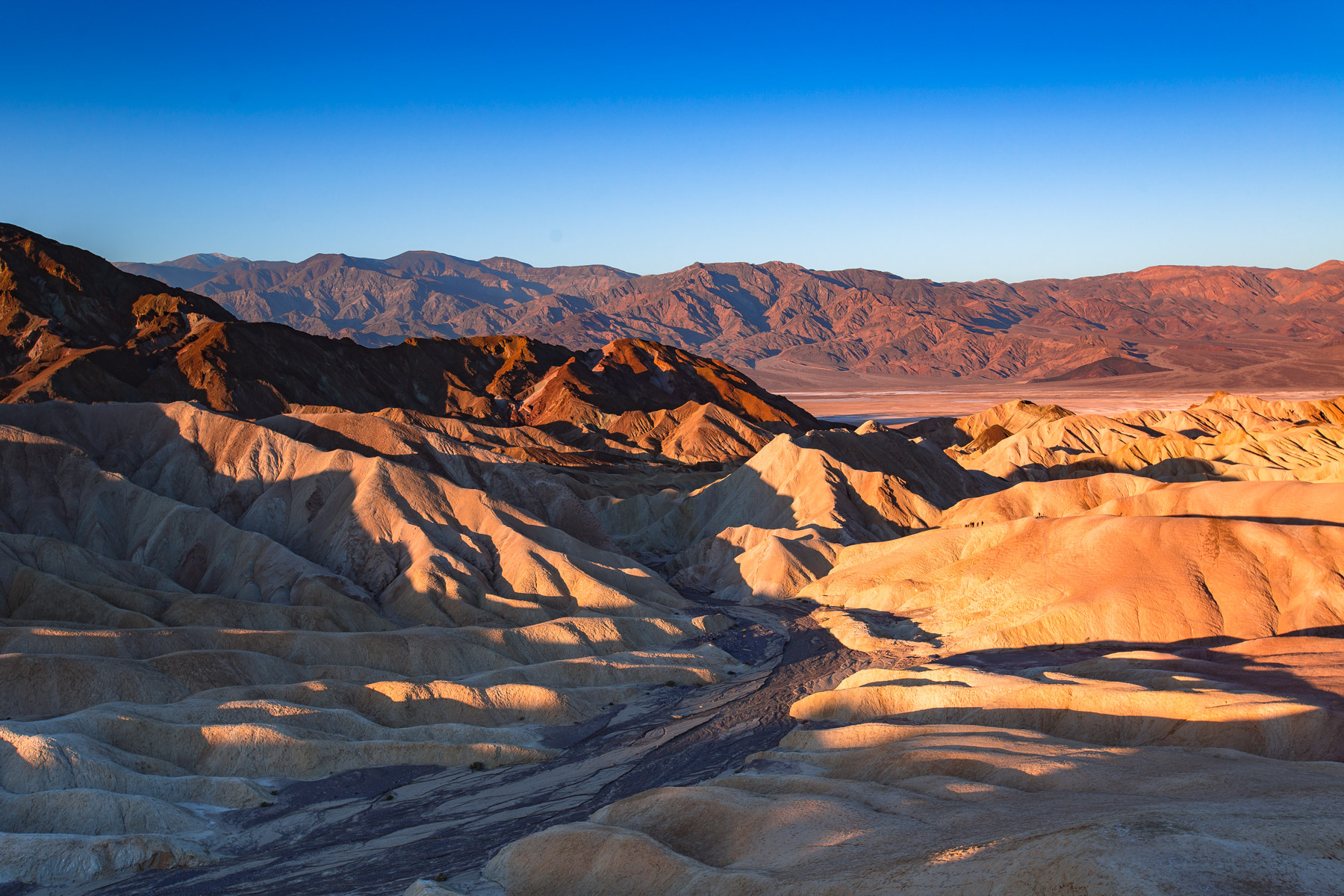
You can’t miss catching a sunrise at Zabriskie Point. This spot gets crowded quickly so I recommend arriving at least 30 minutes before sunrise to claim a spot. This seems to be on every photographer’s wish list, you should have seen the crowd!
The parking lot is small and fills up fast during peak season (October through March). There are restrooms at the trailhead, which is a nice bonus when you’re stumbling around in the dark at 5 AM.
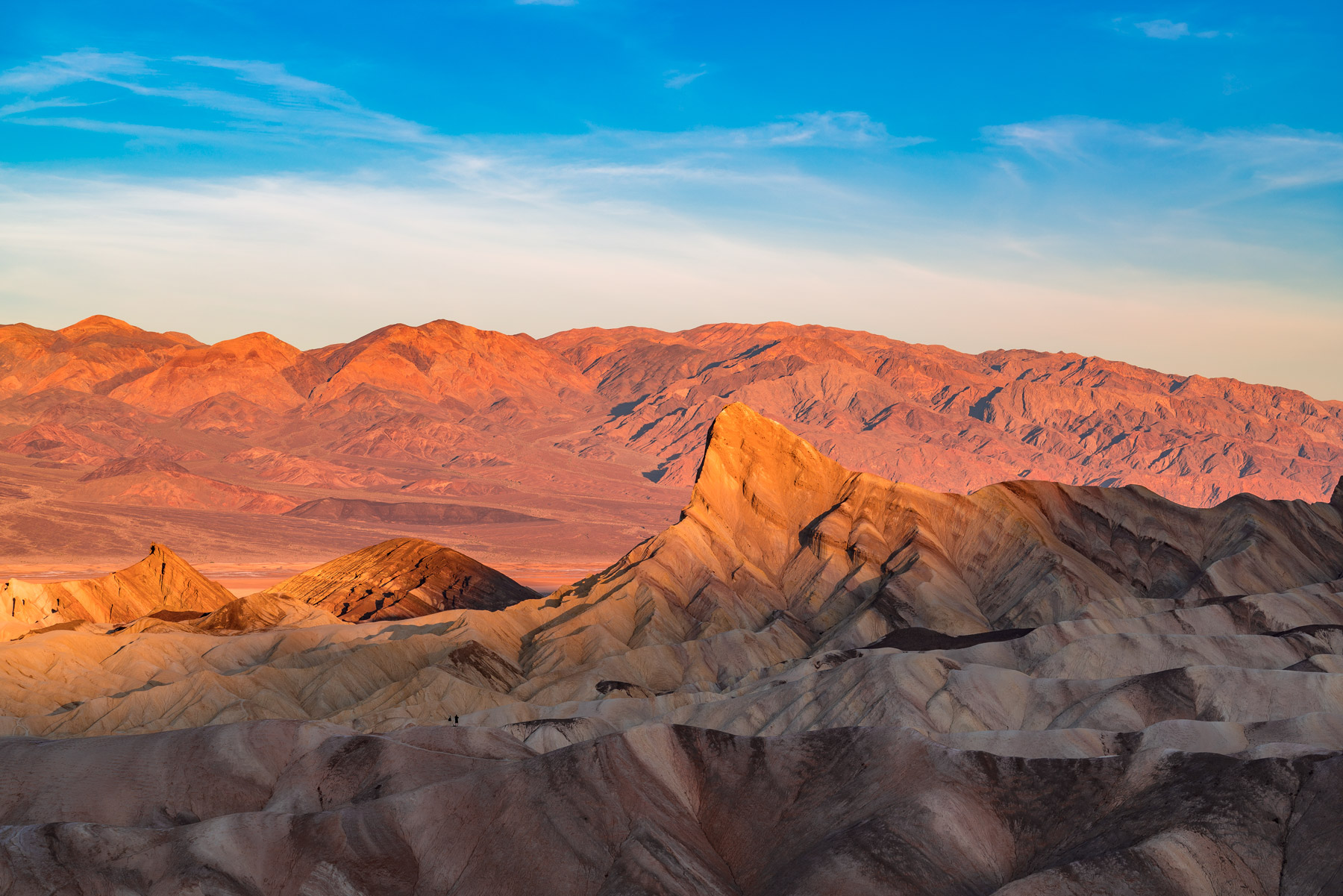
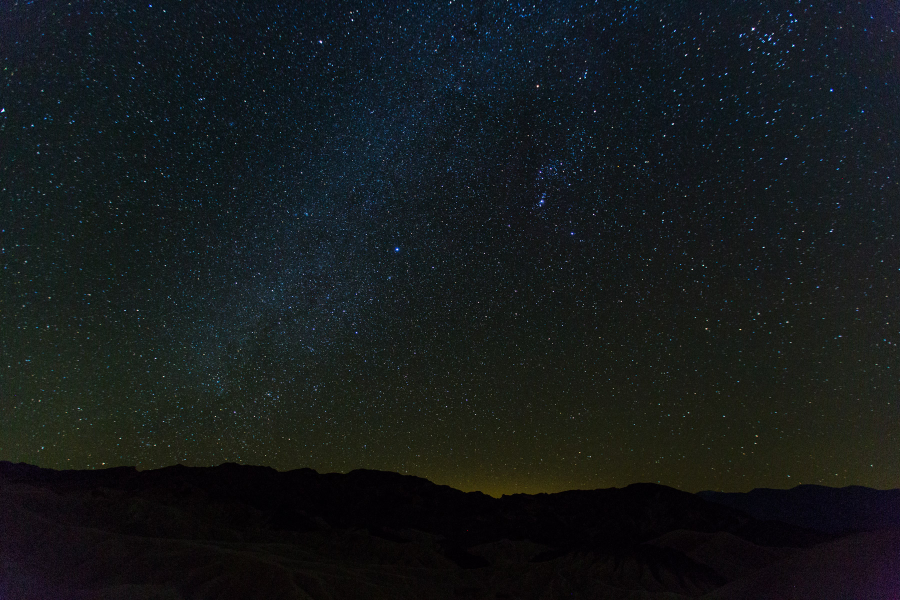
If you’re more of a night owl and catching sunrises doesn’t pique your interest, star gazing at Zabriskie Point is absolutely spectacular too. Death Valley is an International Dark Sky Park, so the Milky Way practically jumps out at you on a clear night.
Spot #5: Natural Bridge Canyon
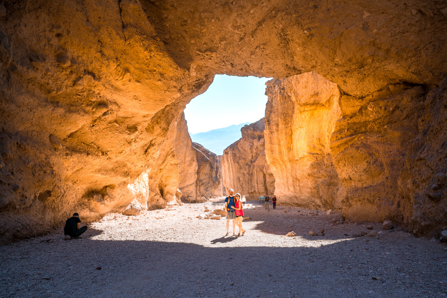
This is a fairly easy, quick 15-minute, uphill hike. A lot of people don’t know this, but Will and I LOVE easy hikes! I think some people assume we’re die-hard hikers, but in reality, we often look for kid friendly hikes – ha!
The natural bridge itself is a massive rock arch carved by flash floods over thousands of years. It spans roughly 15 feet overhead and makes for a great photo opportunity. Beyond the bridge, the canyon narrows into a slot canyon that’s worth exploring for another 10 minutes or so before it dead-ends.
The access road to the parking lot is unpaved but manageable in a regular car. Just take it slow and watch for ruts.
Spot #6: Mosaic Canyon
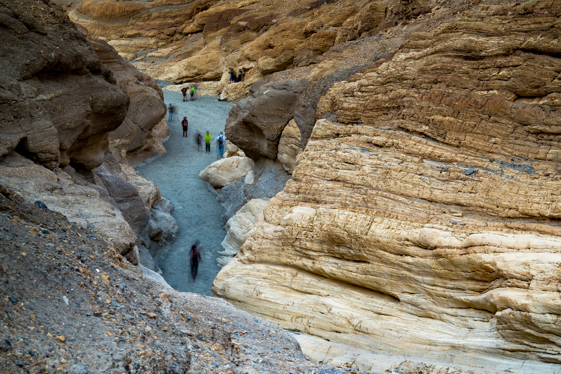
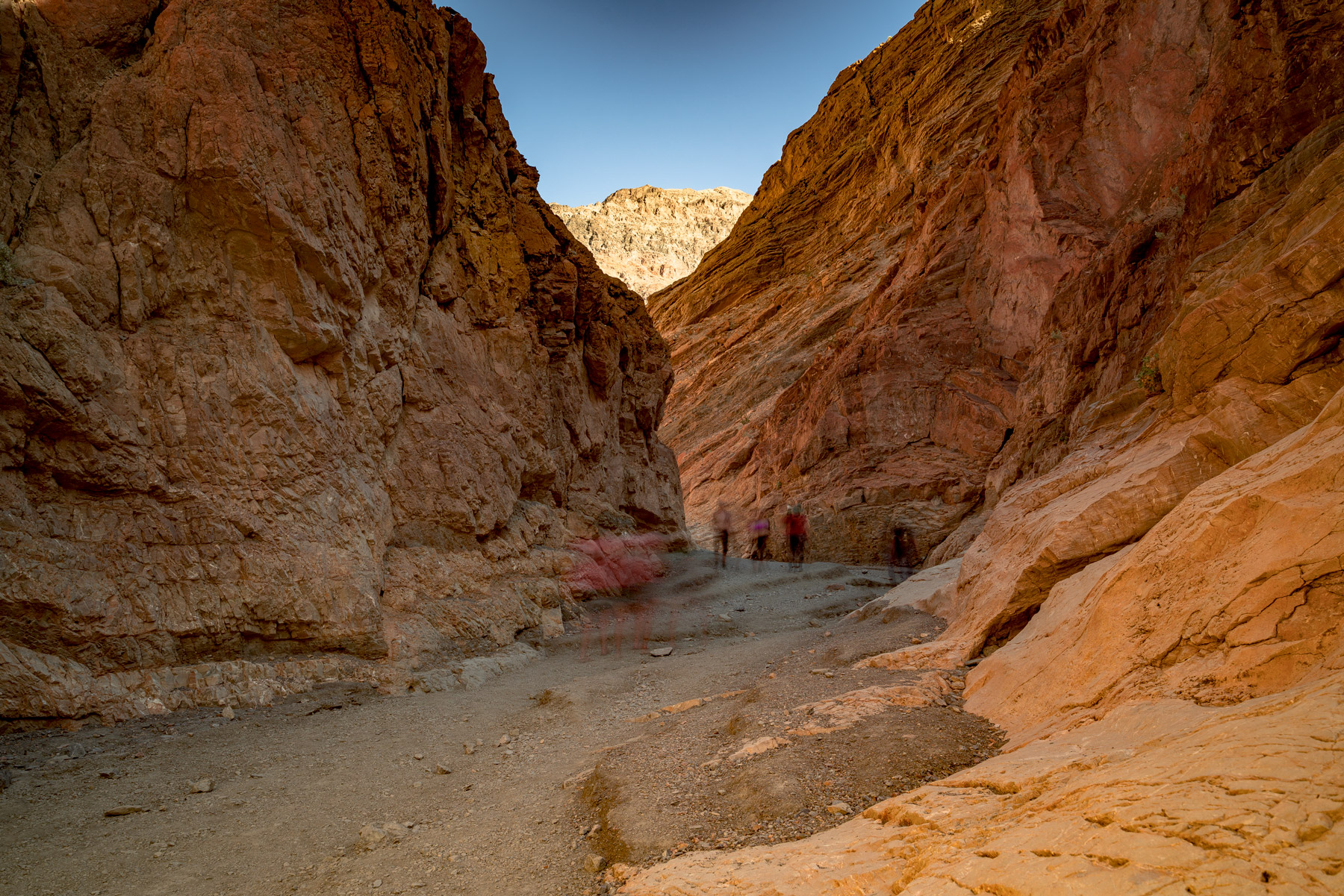
This is technically a 4-mile hike, but Will and I only hiked one mile in because we were mostly interested in the narrows portion, where we had to squuuueze through smooth marble walls to continue onward.
The polished marble walls in the narrows section are genuinely stunning. They’ve been smoothed by centuries of flash floods and feel almost like glass to the touch. The canyon is located near Stovepipe Wells, and the 2.3-mile gravel access road is rough but doable in a standard car.
I recommend visiting in the morning when the light filters into the narrow sections. It’s one of the best hikes in Death Valley for photographers and anyone who loves slot canyons.
Spot #7: Badwater Basin
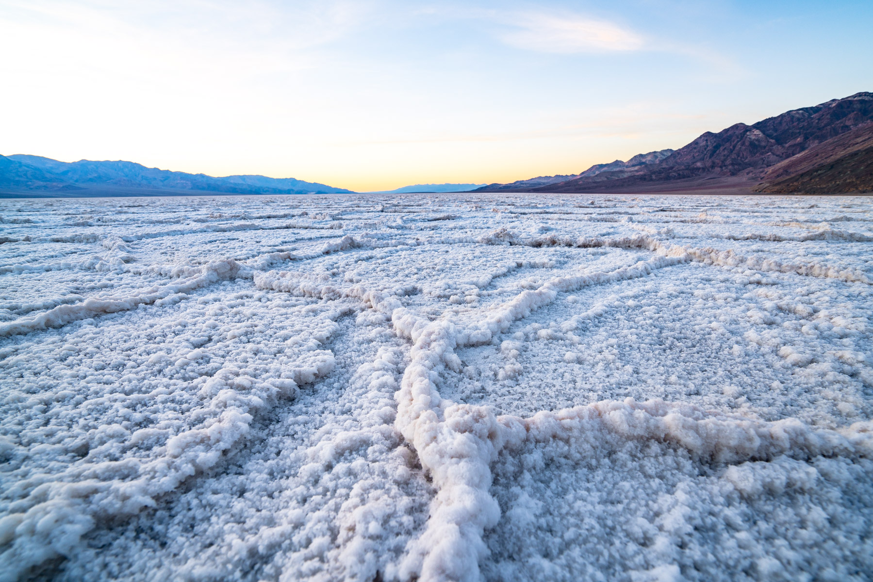
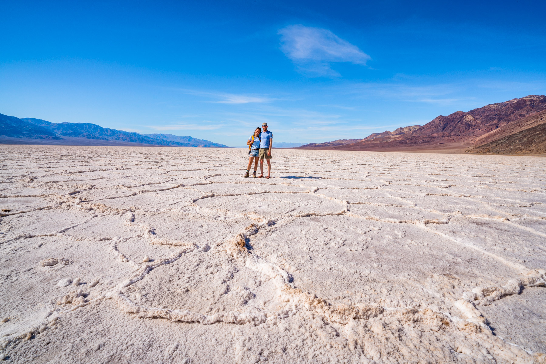
Welcome to the lowest point in the United States – 282 feet below sea level! This area is absolutely unreal; it’s a honeycomb-shaped sea of pure salt crystals. You follow a little boardwalk down to the salt flats where you’re allowed to walk around.
Don’t step on the salt crystal formations though, as hard as it is to believe, these flats are home to pickle-weed, aquatic insects and the Badwater snail.
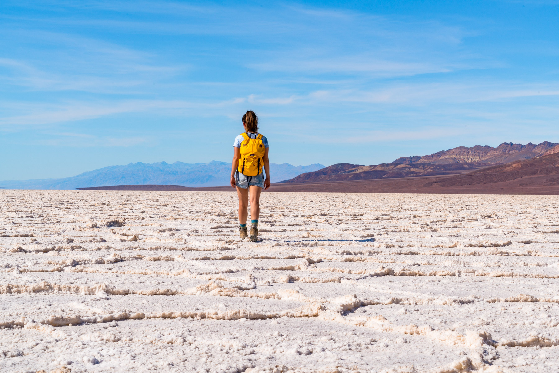
Walk at least a quarter mile out onto the salt flats to get away from the crowd. Most visitors snap a photo near the boardwalk and leave, so you can find real solitude if you venture further. Just make sure you bring water and wear a hat because there is zero shade out there.
Fun fact: Mount Whitney is the highest point in the contiguous 48 United States and lies merely 85 miles Northwest of Badwater Basin. Which means that the highest and lowest points in the lower 48 states are only 85 miles apart!
Spot #8: Artist’s Drive
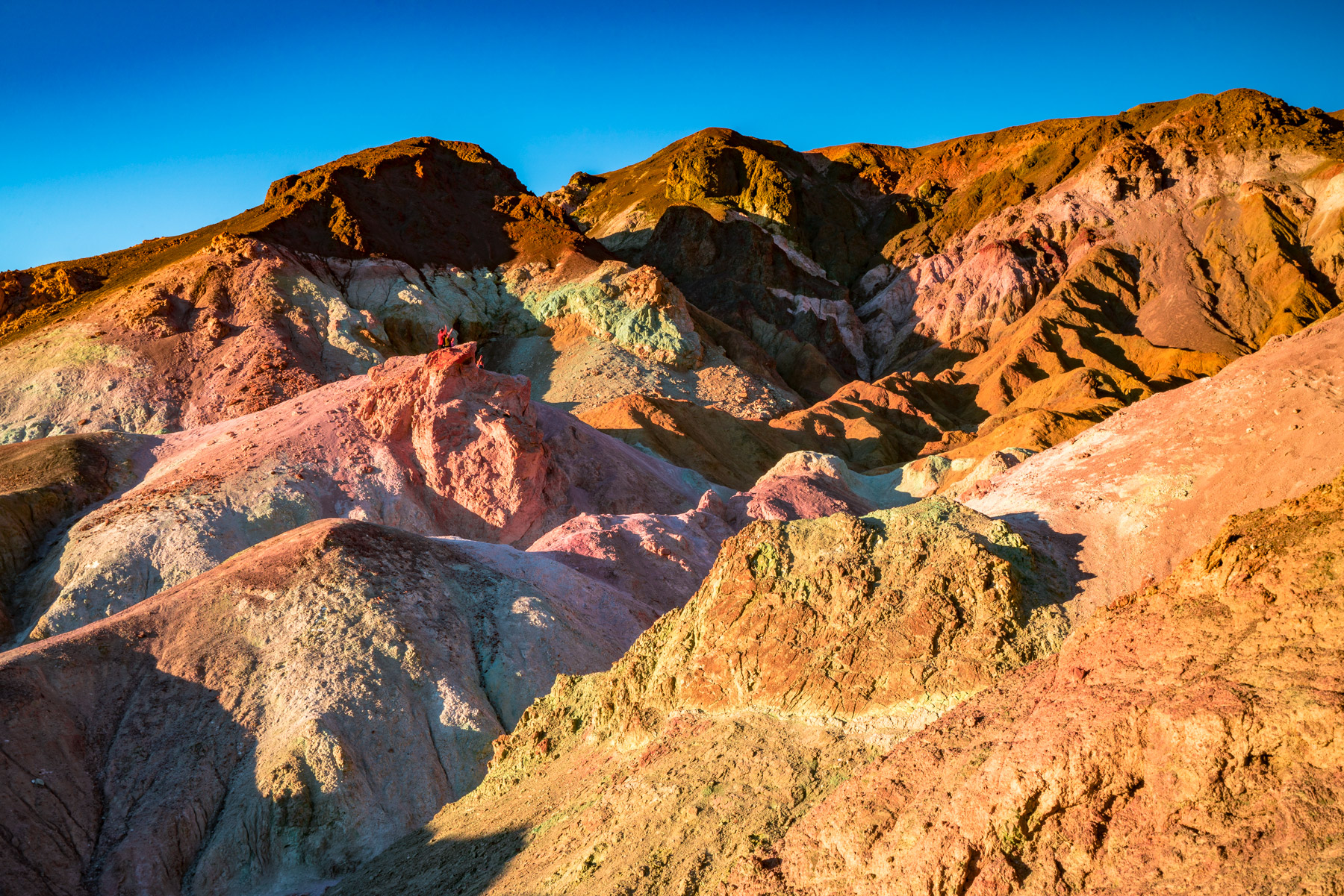
A scenic 9-mile drive that displays an array of colorful hues of the Amargosa Range’s sedimentary hills. In my opinion, sunset is the best time to visit – the hills come alive with unbelievable colors!
The road is one-way and takes about 20 minutes if you don’t stop, but you will stop. The Artist’s Palette pullout is the main attraction, where oxidized metals in the rock create splashes of green, pink, purple and gold. No two visits look exactly the same depending on the light.
Vehicles over 25 feet are not allowed on Artist’s Drive, so leave the RV at camp for this one.
Spot #9: Little Ubehebe Crater
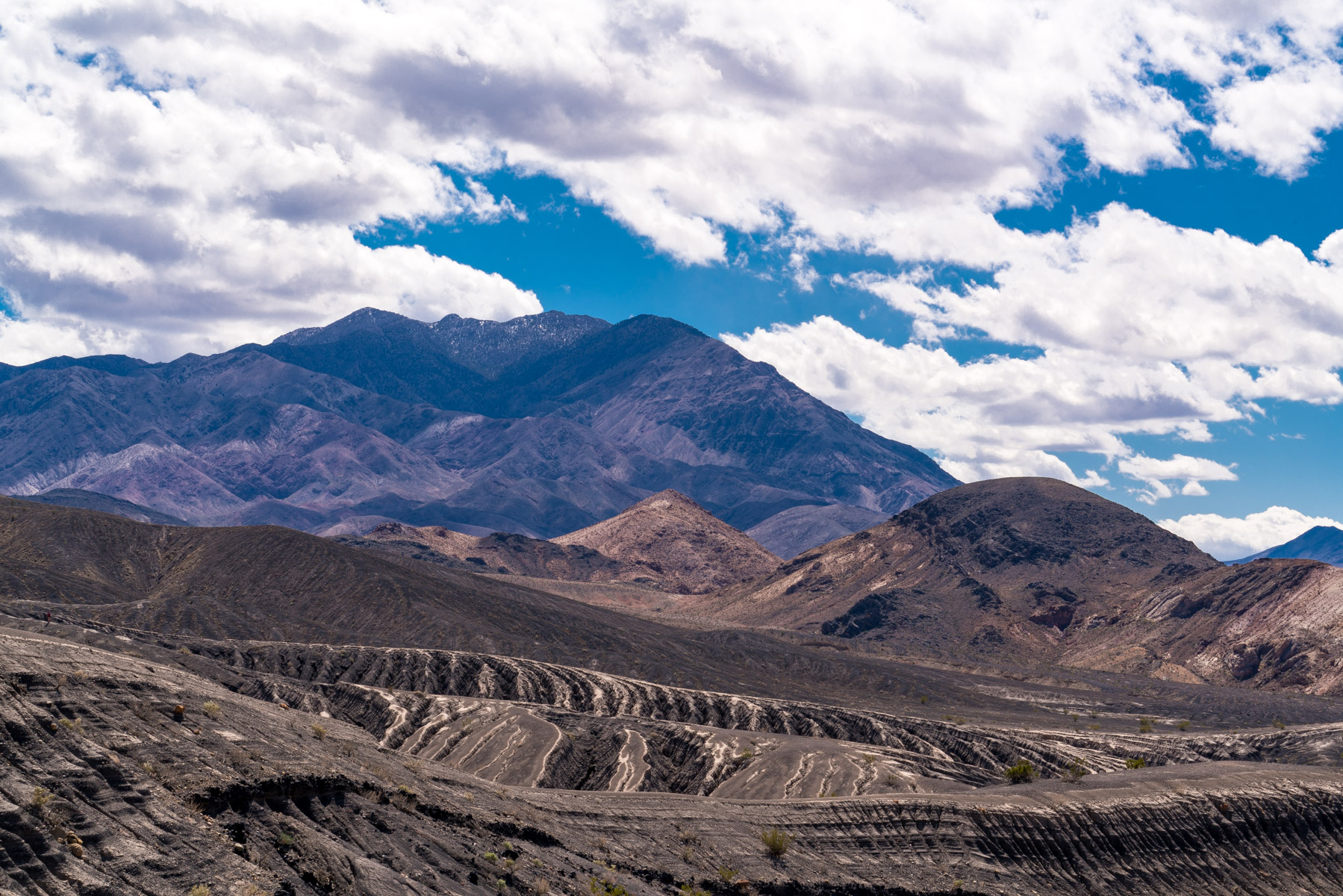
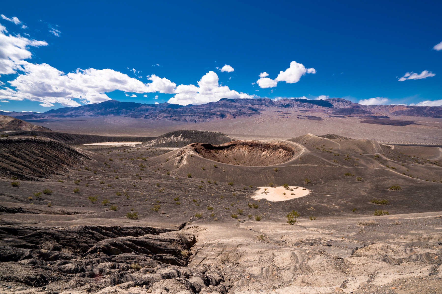
Pronounced (YOO-bee-HEE-bee). The terrain in this area is fascinating! We stopped here to hike to Little Ubehebe Crater on our way to the Racetrack Playa. The hike down to Ubehebe Crater seems easy enough but the hike back up seems intense! However, the hike to Little Ubehebe was a lot more manageable – sign me up! 🙂
Ubehebe Crater is roughly 600 feet deep and half a mile wide. It was formed by a volcanic explosion somewhere between 300 and 2,100 years ago (scientists are still debating). The rim trail connecting Ubehebe to Little Ubehebe is about 1.5 miles and mostly flat with amazing views into both craters.
Fair warning, it can be incredibly windy up here. I’m talking hold-onto-your-hat windy. We visited on a calm day and still felt gusts that nearly knocked me off balance.
#10: Wildlife Spotting
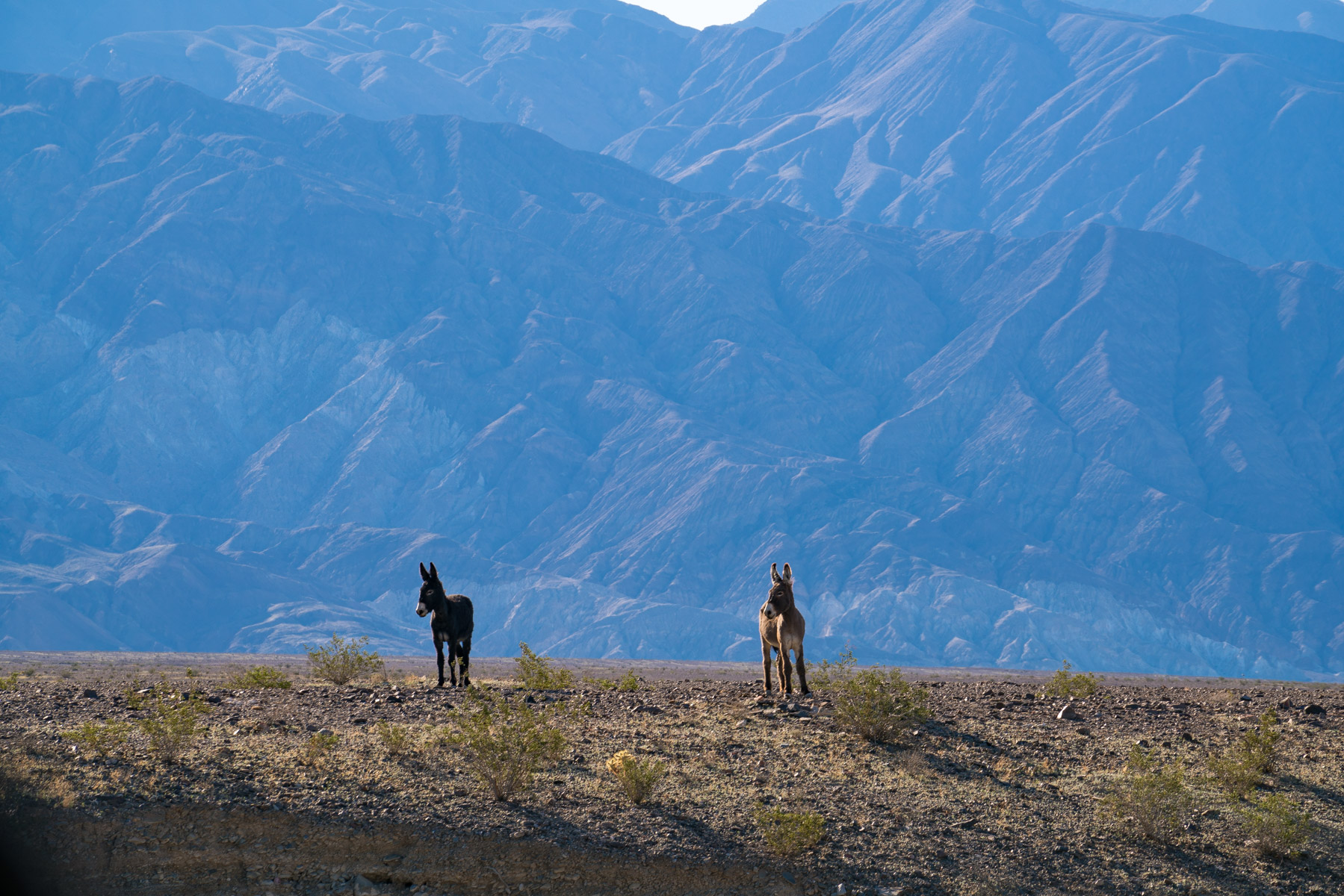
The park is brimming with wildlife! The most memorable experience for me was walking through a field, looking for rattlesnakes, and being startled by a jackrabbit in a nearby bush; we were so close to each other!
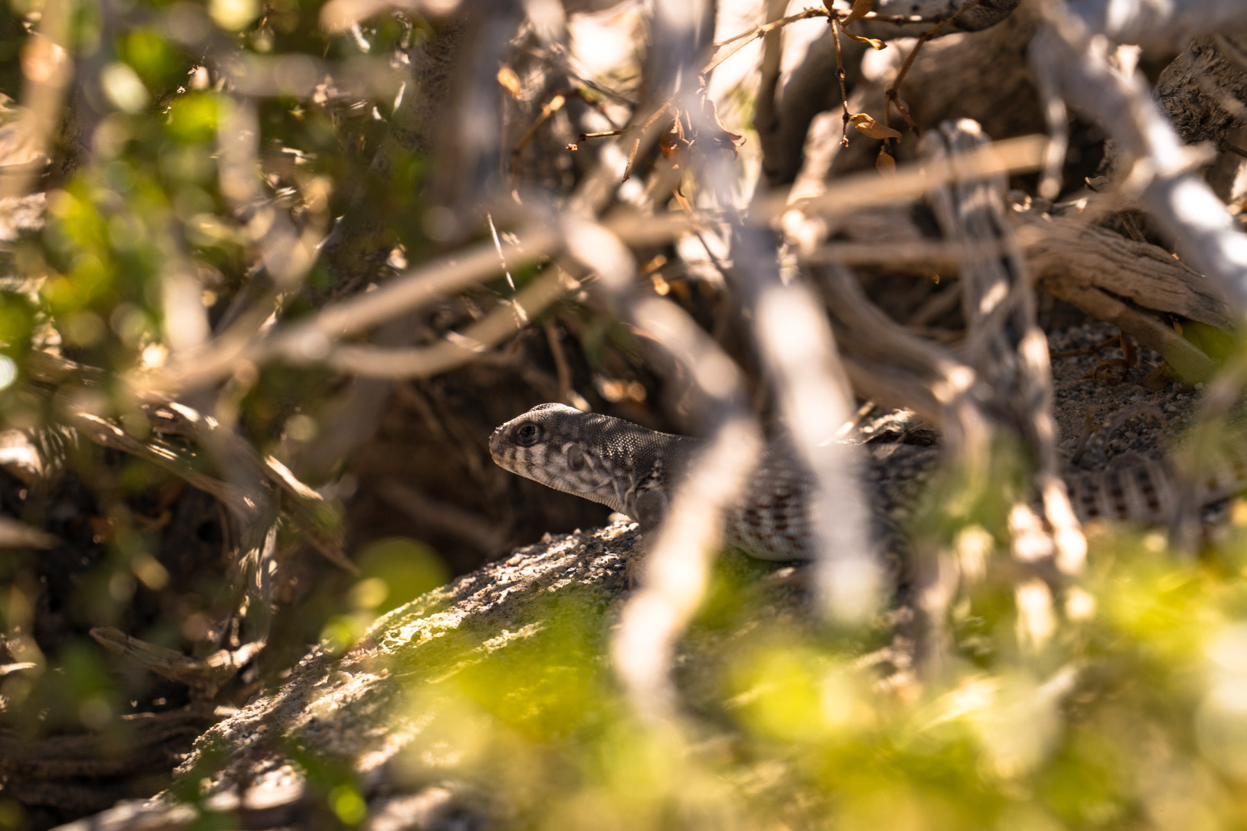
There are lizards EVERYWHERE in this park! I never knew this about lizards, but when they feel threatened, they puff their chests and do “push ups.” It absolutely cracked me up!
Keep your eyes peeled for coyotes near the campgrounds at dawn and dusk. We spotted three during our trip and they were completely unfazed by us. Desert bighorn sheep are harder to find, but if you drive slowly through Titus Canyon (which does require 4WD, so save that for our 4WD guide), you might get lucky.
BONUS: The Night Sky!
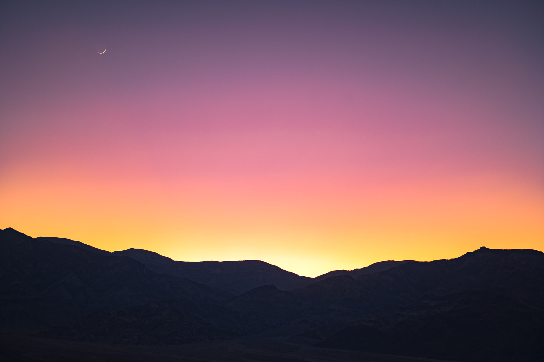
Death Valley is known for having the darkest skies for star gazing and the display is truly stunning. Will and I were so entertained counting shooting stars; sooooo many wishes to be made. 😉
The best stargazing spots are Harmony Borax Works, Mesquite Dunes and Badwater Basin. New moon nights are ideal, obviously, but even with a quarter moon the sky puts on a show. We saw the Milky Way so clearly that it looked fake.
Practical Tips for Visiting Death Valley Without 4WD
A few things I wish I’d known before our first trip in the Prius. Fill up your gas tank before entering the park. There are only two gas stations inside the park (Furnace Creek and Stovepipe Wells) and they charge a premium. We paid over $7 per gallon at Stovepipe Wells.
Bring at least one gallon of water per person per day. More if you plan on hiking. Cell service is basically nonexistent throughout the park, so download offline maps before you arrive. And don’t forget to check road conditions on the NPS website before your trip, because flash floods can close roads without warning.
Further Reading
- 17+ Best Things to Do in Death Valley National Park
- The 10 Best Hikes in Death Valley National Park
- Exploring Eureka Sand Dunes
- Visiting Death Valley With 4WD
I hope you enjoyed this quick list of the top 10 places in Death Valley National Park without 4WD.
Until next time,
Antonina
pin for later


Beautiful pictures and a great blog.
It’s February and we would like to go to the park in mid-Feb this year- is this a good time? Warm clothes?
We have a 42foot RV and pull an SUV but not 4WD so I would follow your non-4WD route. We would get an RV park and drive. How many days do we need to see the park? # 4 5?
And I need to know where the mud flats are- we can’t miss those.
Thanks!
Hi Paula,
We visited in February during our first visit — the temperatures were great. Bring a light jacket for the daytime and warmer jacket for the evening hours. I suggest 4 days minimum because the park is SO LARGE! Driving between spots can take up to 2-3 hours, so plan to spend a decent amount of time in the car.
Hope you enjoy your trip!!
Hello! We are visiting Death Valley tomorrow and are so excited!!! Your blog and tips have been incredibly helpful. Can you let us in on how to get to the elusive mud cracks?? Look absolutely amazing!
We just returned from our first trip to Death Valley. Your recommendations were super helpful. Thank you!
Hi Julie,
You are so kind to reach out and let me know – your comment made my day! Glad you found this info helpful, Death Valley is something else!
Hi – we’re heading to Death Valley NP over Thanksgiving week. Where can I find the Mud Cracks? We will be staying at Panamint Springs and only have a 2WD so hoping this place is somewhere attainable for us 🙂
Thanks!
Awesome tips! Thanks. Definitely looking for non 4WD options. This will be very helpful. Beautiful photos as well!
Thank you so much, Ben!